Feedback on this project closed on Tuesday 12 August 2014. For information, please contact Council on (02) 6670 2400.
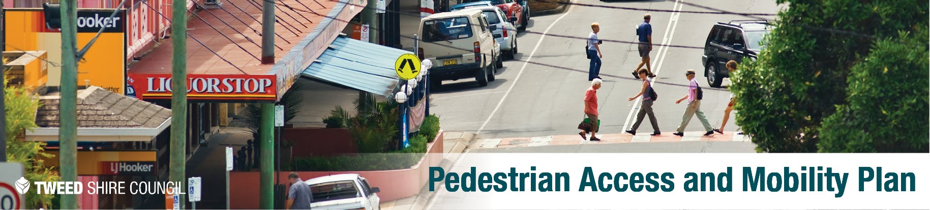
Council is preparing a Pedestrian Access and Mobility Plan (PAMP) to improve the safety, convenience and connectivity of the Tweed's highest pedestrian activity areas.
The PAMP is being developed as part of Council’s investment in safe, convenient and connected pedestrian infrastructure that will encourage people to walk rather than use their cars. The PAMP will provide a framework for developing pedestrian routes and infrastructure to cater to the needs of all pedestrians, including older persons, people with mobility or vision impairments, school children, tourists, cyclists and recreational pedestrians.
The PAMP study area focuses on five town centres in the Tweed identified as high priority and high pedestrian activity areas. These include:
Tweed Heads
Tweed Heads South
Kingscliff
Banora Point
Murwillumbah
The PAMP will identify pedestrian networks within each of these areas as well as linkages between
town centres. It will detail pedestrian concentration, centres of activity, identifiable accident clusters, walking patterns and links between land use, pedestrian facilities (existing and proposed), pedestrian accessibility and mobility issues within a radius of 1.5km to 2 km. The PAMP will also consider areas in which future development is planned.
UPDATE:
The draft PAMP was on public exhibition from Tuesday 1 July 2014 until Tuesday
12 August 2014.
The PAMP has now been adopted by Council and a final
version will be available from this page in the near future.
For
information about the PAMP, please contact Council's Road Safety Officer on (02)
6670 2400.