Flood Monitoring Camera Policy


Policy objectives
Council currently operates flood monitoring cameras at various locations in our shire, mostly facing flood-prone sections of public roads.
This information is also useful for community awareness of flood events and to help motorists avoid flooded roads.
The flood monitoring cameras help gather intelligence for the NSW State Emergency Service (SES), Council operations and other emergency service organisations during flood events.
For the images to be made publicly available, and to manage Council’s legislative obligations including privacy, Council has drafted a Flood Monitoring Camera Policy.
The policy was adopted at the Council meeting on Thursday, 15 December 2022.
The still images may be published on Council’s website with each image visible for 15 minutes before it will disappear and is replaced by a new, refreshed image.
The cameras operate 24 hours a day. Some cameras may not work as well during low light conditions and severe weather.
Data or information collected from the cameras will be retained for six (6) months and may be provided to a law enforcement agency for a lawful and permitted purpose.
Any requests for access to data held by Council must be made by way of application in accordance with the requirements set out in the Government Information (Public Access) Act 2009.
Camera locations
The cameras are located at:
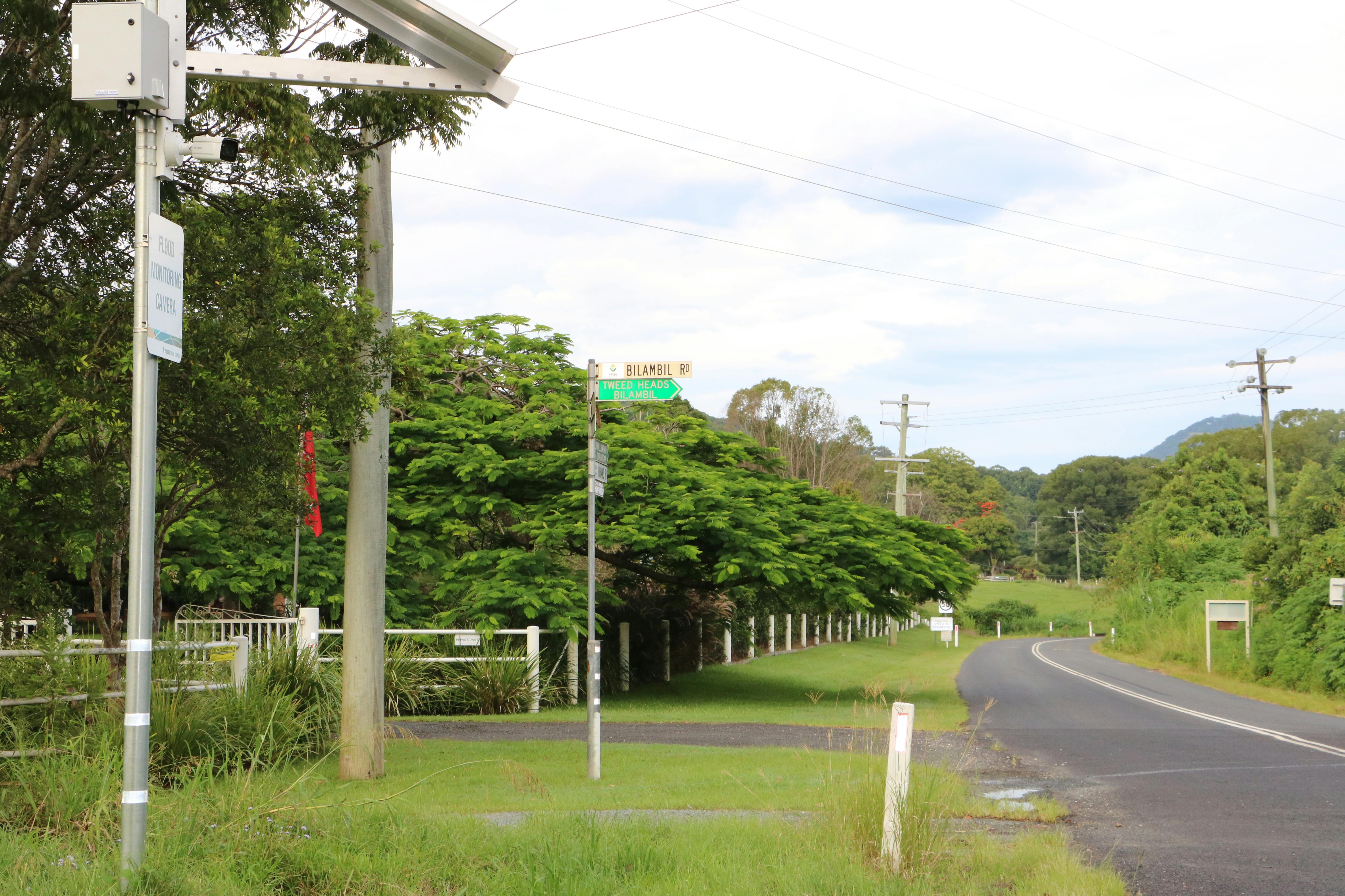
- Bilambil Sports Club on the corner of Bilambil and Hogans roads, Bilambil
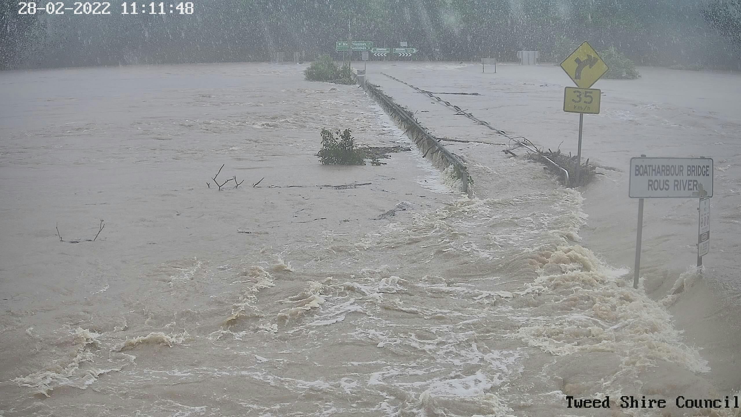
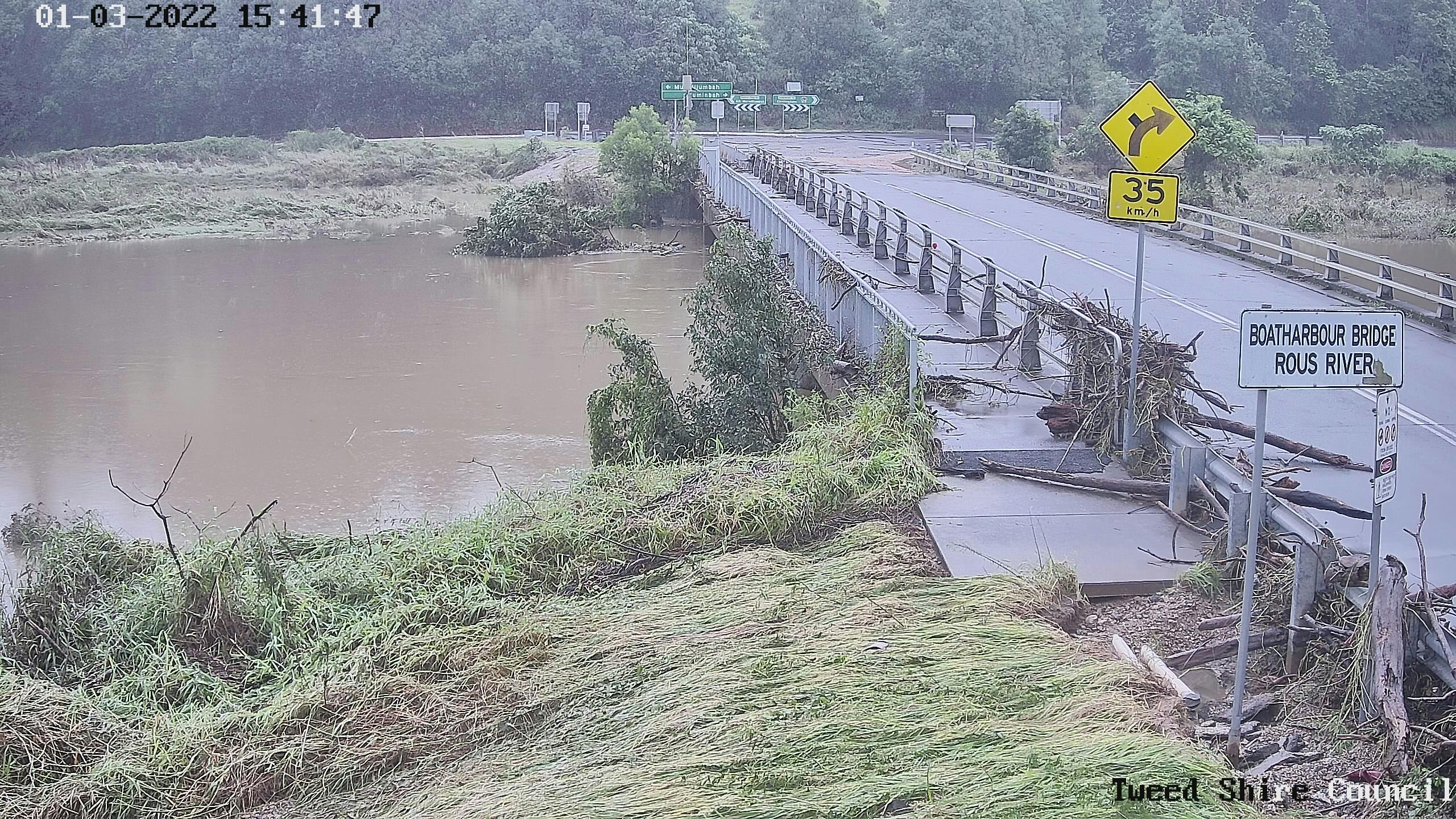
- Boatharbour Bridge on Numinbah Road, Nobbys Creek
- Byangum Bridge on Kyogle Road, Byangum
- Murwillumbah Bridge on Wollumbin Street, Murwillumbah
- Piggabeen Road at the culvert just west of Banksia Waters Village, Tweed Heads West
- Tweed Valley Way (Oaks Avenue) north of the Cudgen Road and Tweed Valley Way intersection, Chinderah.
These locations were selected in consultation with NSW SES to improve their flood event operational intelligence.
Should any further camera locations be added to the flood monitoring camera network, those cameras shall also be covered under this policy.
The flood monitoring cameras will be maintained generally in accordance with Council’s asset management plans.
Public exhibition
The Draft Flood Monitoring Camera Policy was on public exhibition and submissions from Monday 7 November 2022 to Monday 5 December 2022.
Draft Flood Monitoring Camera Policy

Photos
Videos
-
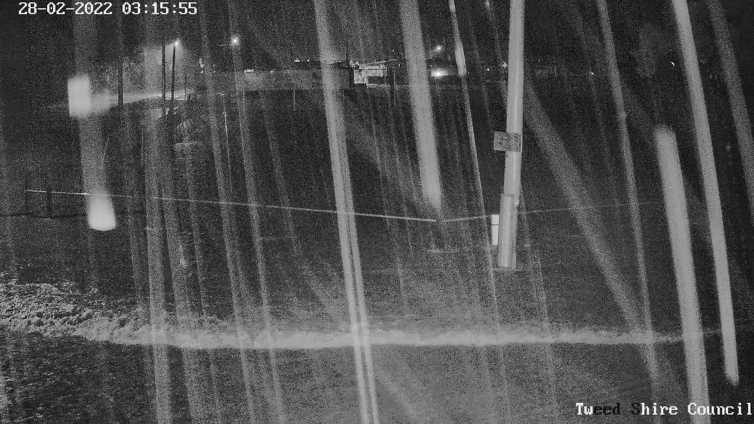
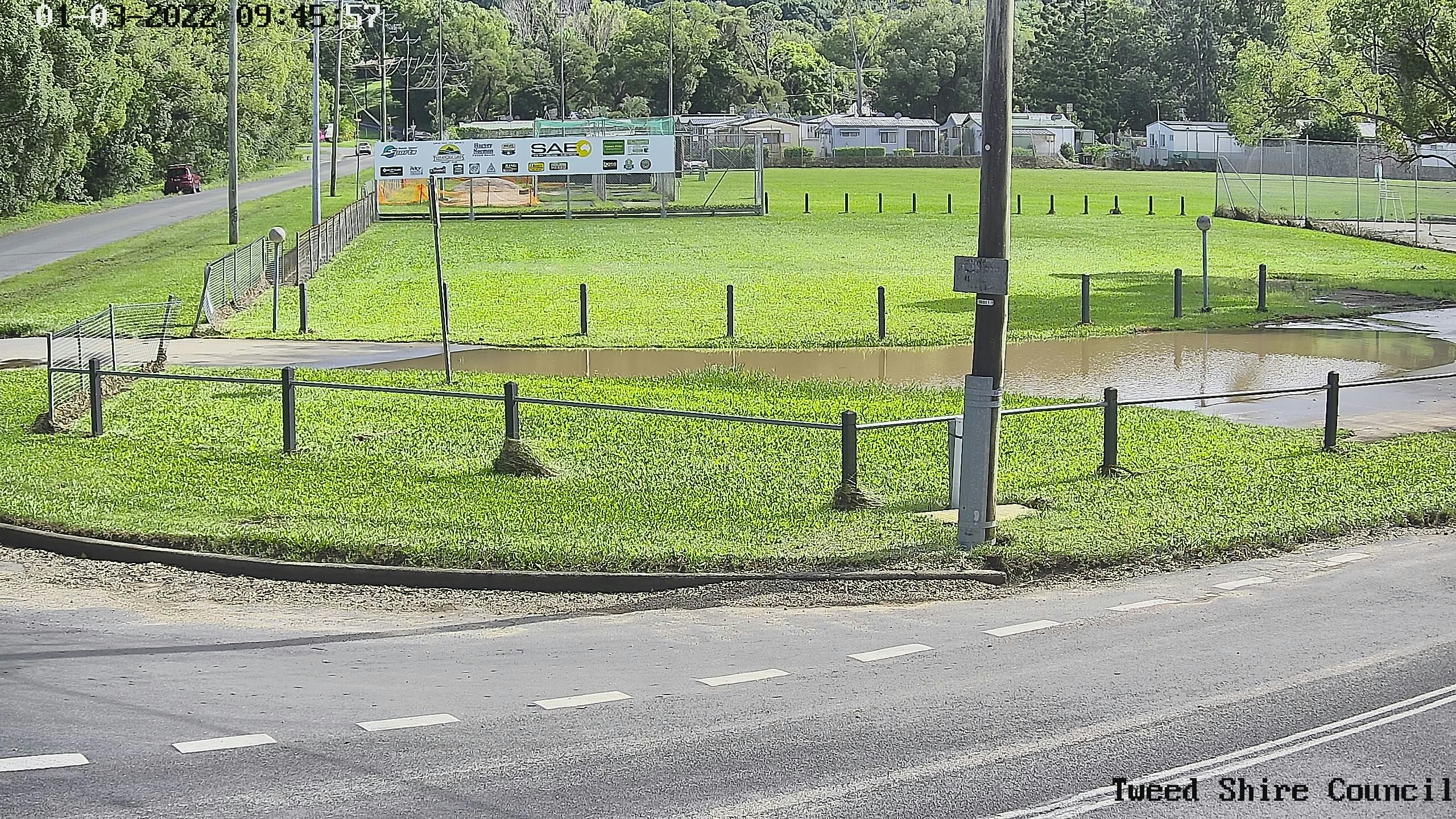
 Tweed flood cameras capturing images and video from the 2022 floods.
Who's listening
-

Phone 02 66 70 2400 Email tsc@tweed.nsw.gov.au -

Phone 02 6670 2400 Email tsc@tweed.nsw.gov.au